Anyone who has tried to integrate GIS data into their business will know how challenging it can be. Accessing the data and getting it into your team’s hands is often confusing and overwhelming, let alone storing and managing versions to ensure your team is looking at the correct data. If you have managed to complete all of that, congratulations!
But now, how do you deliver your GIS projects to your customers or ensure that the completion of the project is in line with your vision and meets requirements?
In my experience, overcoming these challenges can diminish or eliminate the value of implementing a Geospatial approach in the first place.
[Want to know more? Sign up here to be one of the first to experience FOND Collaboration]
We Can't All Be Geospatial Engineers
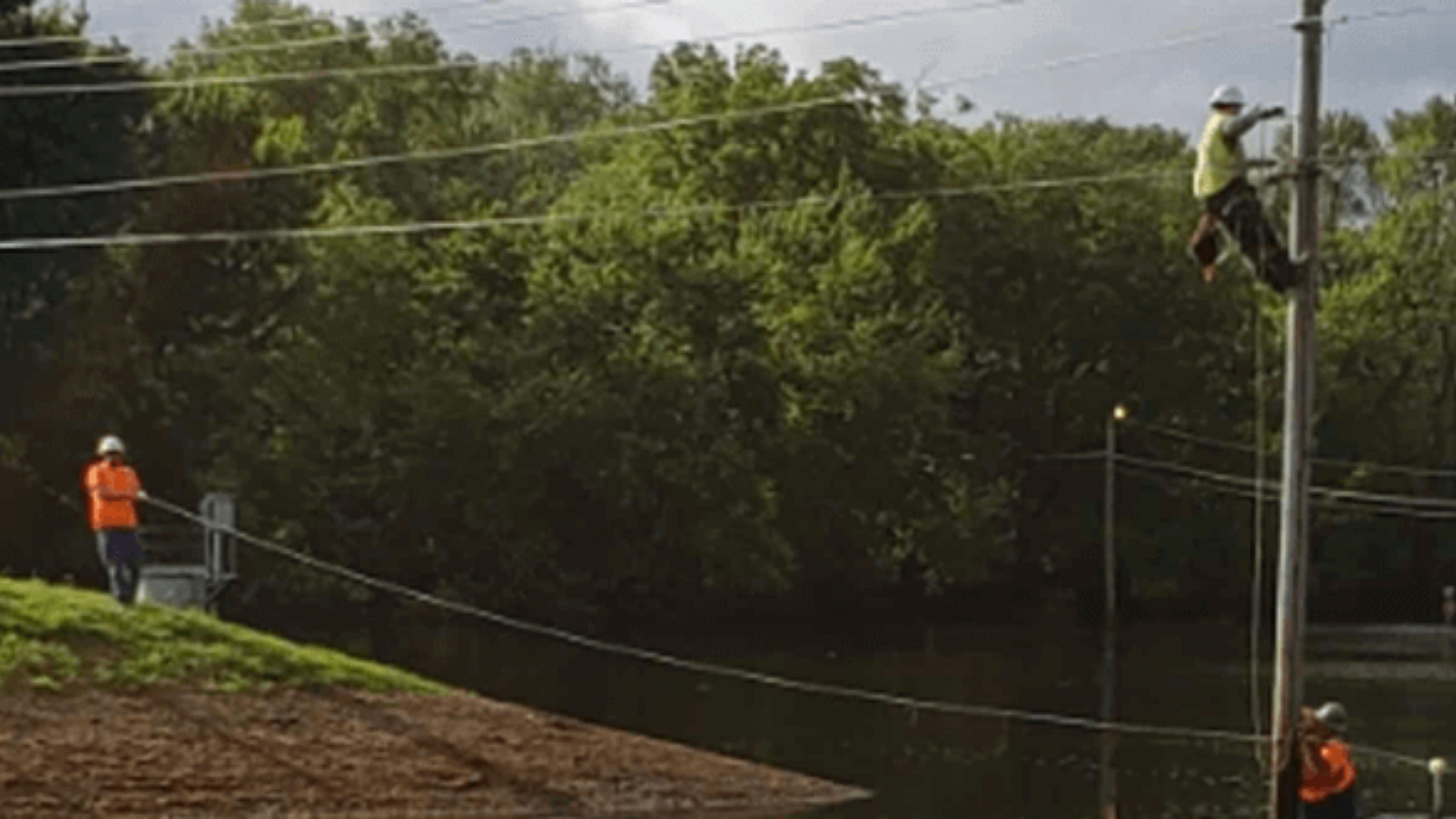
Setting up design projects with Biarri Networks’ Engineering Services over the past 5 years I have found that the biggest challenge to pioneering a digital approach we have faced isn’t how to stand up the technology, it is how do we convince people to join us on the ride?
It does not help if the first step in the process is a 25-point, 3-day training plan which results in just visualizing your data. Once this barrier is overcome, we have found that there is a definite willingness in the industry to adopt digital approaches. Current Geospatial Offerings have forgotten (or not realized) that Managers and Decision Makers will need to access, review, manage, and approve the Geospatial work completed. And since when is GIS data only allowed to come in a specific schema and describe only networks?
To this end, we have leveraged our Web-based Feasibility tool “FOND Planner” and built our Geospatial Design Management system: “FOND Collaboration”. Initially as a complement and catalyst for our Engineering Services offering, but now as an important tool on our belt with which we can Empower People to Accelerate Digital Equality.
Collaboration allows you to Organize your projects in a way that makes sense to you and your team. It allows you to Share the project with your desired internal and external stakeholders and provides the tools to Collaborate on that project to ensure your vital input is heard, tracked, and seen. Think of it like Google Docs or MS Teams for geospatial data. Collaboration does this while promoting iteration and version control (design is, after all, an iterative process) to ensure your team is all looking at and talking about the same thing.
Get ahead of the crowd and solve your GIS problems today, by signing up for FOND Collaboration here.
 Harley Slater
.png)
.png)