FOND Knowledge Hub
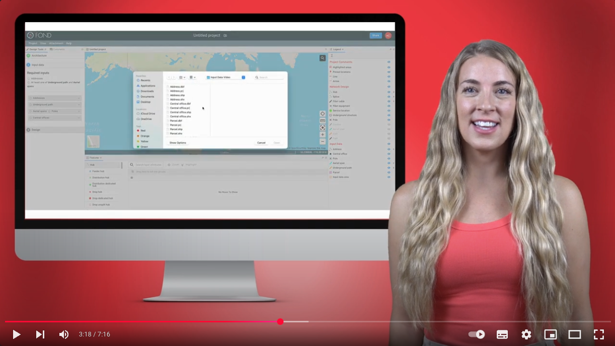
Access how-to articles and videos to optimize your use of FOND Platform
LEARN
FOND Knowledge Hub
Access how-to articles and videos to optimize your use of FOND Platform
FOND PLATFORM
Solutions
ABOUT BIARRI
Subscribe
Join our newsletter to stay up to date on features and releases.
- © 2026 Biarri. All rights reserved.
- Privacy Policy
- Terms of Service
- Cookies Settings


